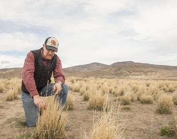
This document provides instructions on how to find and download Ecological Site Descriptions (ESDs) using the Web Soil Survey (WSS) for use in a range management plan.
The newest release of the WSS as of July 2020 (version 3.3.2) removed the ESD tab from the WSS interface. This has made locating and downloading the new, updated ESDs a little bit trickier. Here I provide instructions on how to find and download the ESDs through the WSS website.
The Ecosystem Dynamics Interpretive Tool, or EDIT, hosted by Jornada, houses ESDs and users can navigate to ESDs of interest through that site by first selecting a major land resource area, or MLRA through a list or map. For users who wish to first explore the soils data, and view a particular area of interest, such as a ranch, we suggest using the WSS.
Step 1
-

- Start by clicking the green button (circled in blue in the photo above).
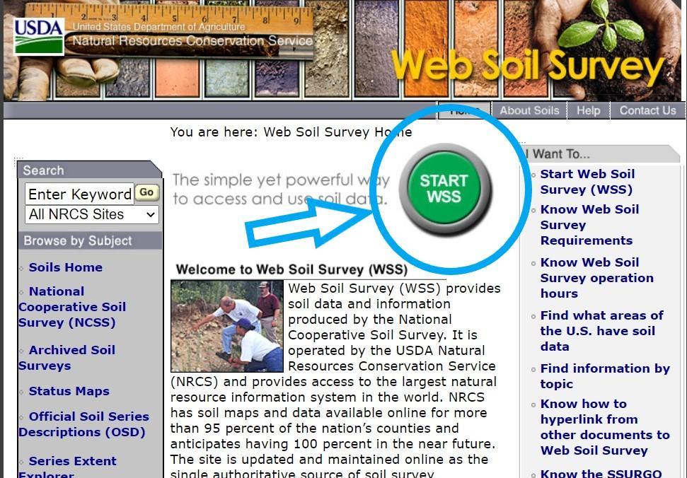
- Start by clicking the green button (circled in blue).
Step 1 A
-

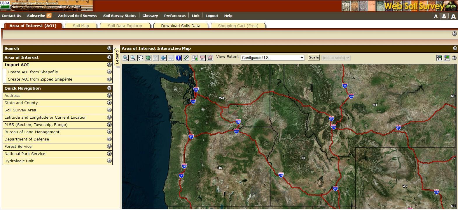
- This will take you to a map interface.
Step 2
-
2. You can either import a shapefile of your area of interest (AOI) or zoom in and draw it using the AOI tool on the map.
- To draw an AOI, zoom into the area you are interested and draw a rectangle or polygon for the area you wish to get soil reports and ESDs.

Step 3
-

- Use the + and – buttons to zoom in and out (circled in orange).
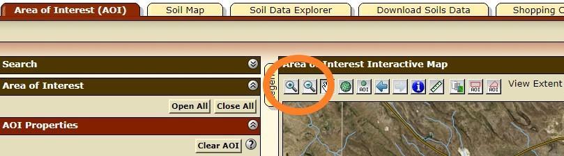
- Use the + and – buttons to zoom in and out (circled in orange).
Step 4
-

Use the hand icon (circled in yellow), to pan around to find your area of interest. Just click, then while holding down the mouse, drag in the direction you wish to pan the map
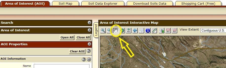
Use the hand icon (circled in yellow), to pan around to find your area of interest. Just click, then while holding down the mouse, drag in the direction you wish to pan the map
Step 5
-

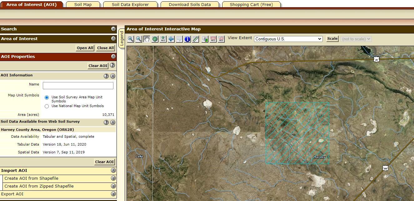
Once you have located the area on the map, use the rectangle tool to draw a rectangle around the area, or the polygon tool to draw an irregular shape around your AOI. Those buttons are circled in light blue in the image above. To draw the rectangle I clicked in the top left corner of the area I was interested in, then dragged along the diagonal grey line to the bottom right corner of the area I was interested in. This created the blue rectangle AOI with diagonal lines pictured here.
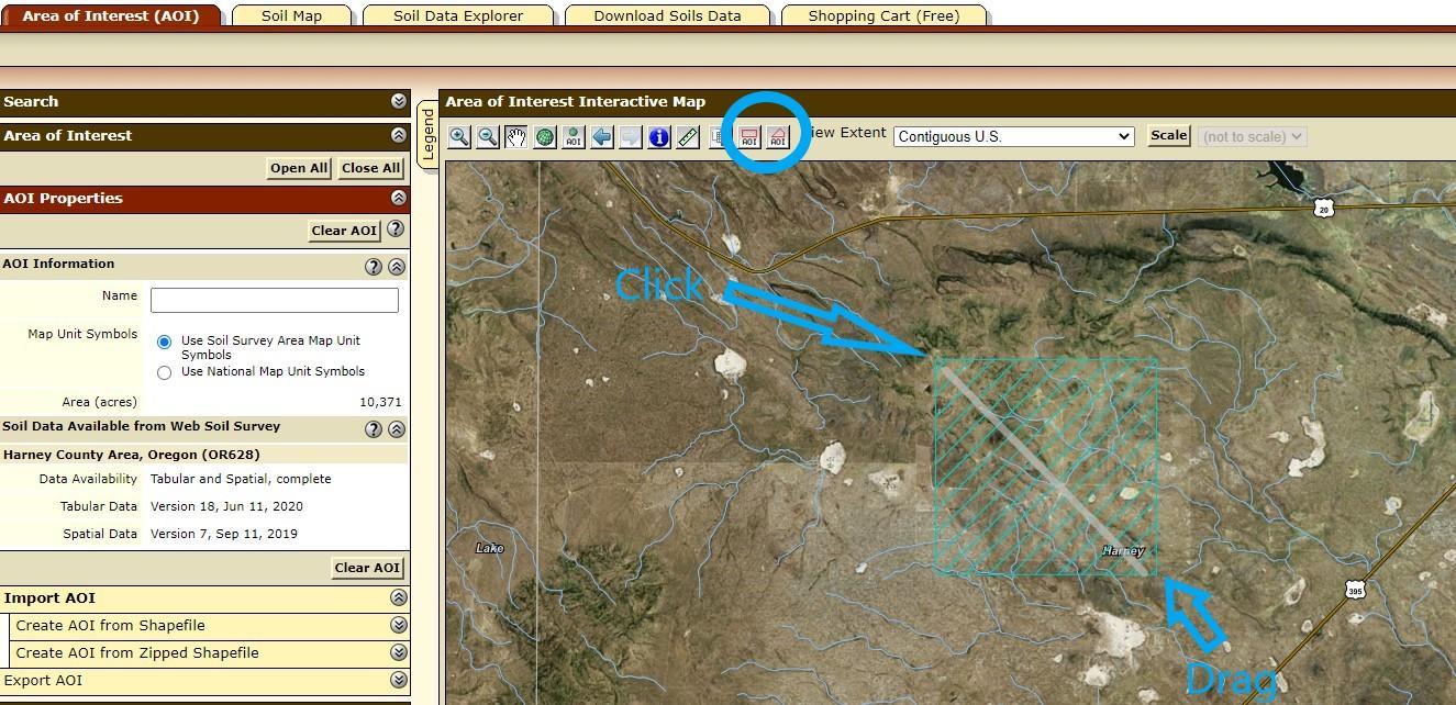
Once you have located the area on the map, use the rectangle tool to draw a rectangle around the area, or the polygon tool to draw an irregular shape around your AOI. Those buttons are circled in light blue in the image above. To draw the rectangle I clicked in the top left corner of the area I was interested in, then dragged along the diagonal grey line to the bottom right corner of the area I was interested in. This created the blue rectangle AOI with diagonal lines pictured here.
Step 6
-
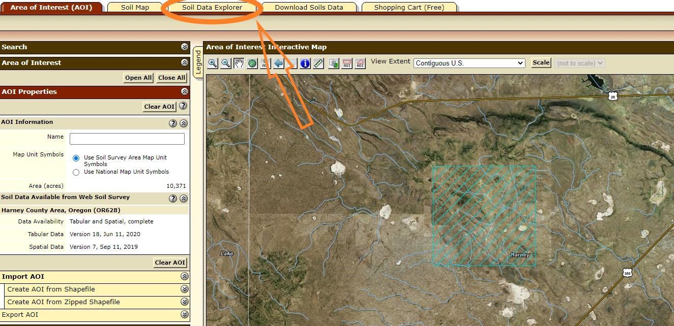
- Once the AOI is selected, click on the Soil Data Explorer tab (orange arrow pointing in the image above)

- Once the AOI is selected, click on the Soil Data Explorer tab (orange arrow pointing in the image above)
Step 7
-

- Click on the Soil Reports tab (circled in yellow in the photo above).
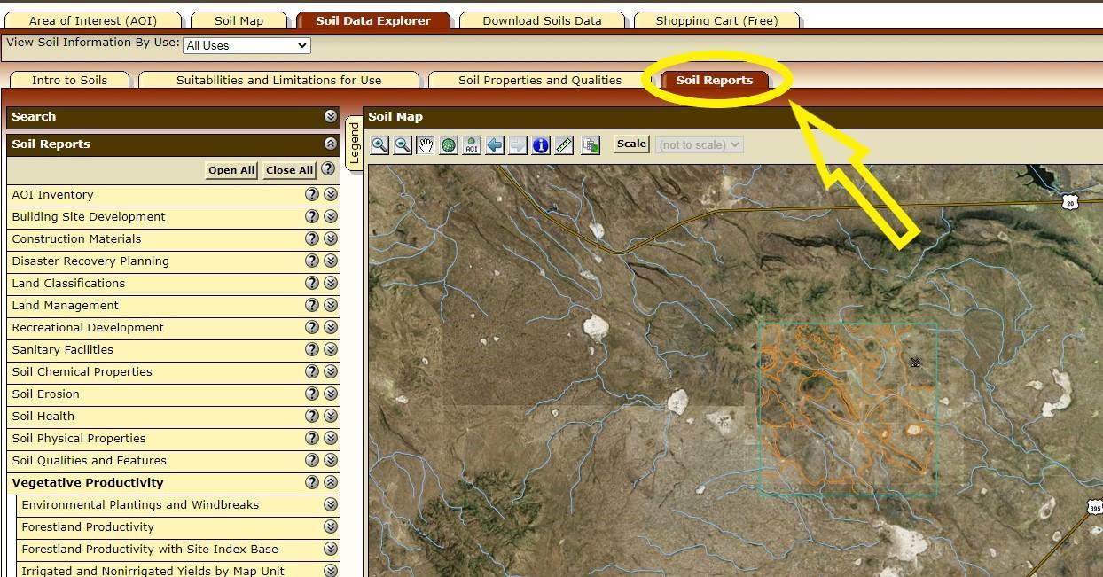
- Click on the Soil Reports tab (circled in yellow in the photo above).
Step 8
-
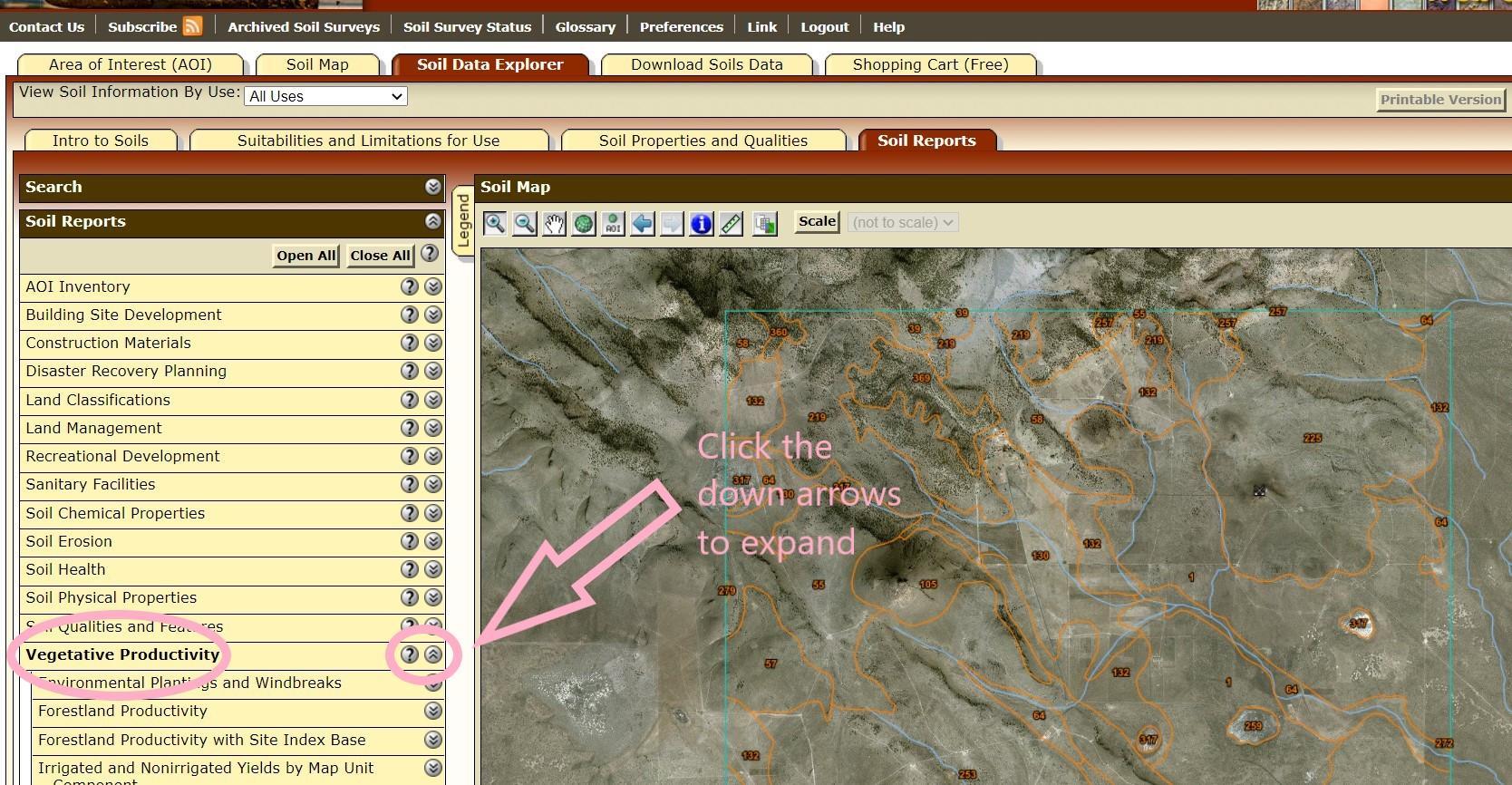
- Open the vegetative productivity tab by clicking on the double down arrow (circled in pink with the pink arrow pointing to it in the image below) arrows next to the words vegetative productivity, in order to expand the list.

- Open the vegetative productivity tab by clicking on the double down arrow (circled in pink with the pink arrow pointing to it in the image below) arrows next to the words vegetative productivity, in order to expand the list.
Step 9
-
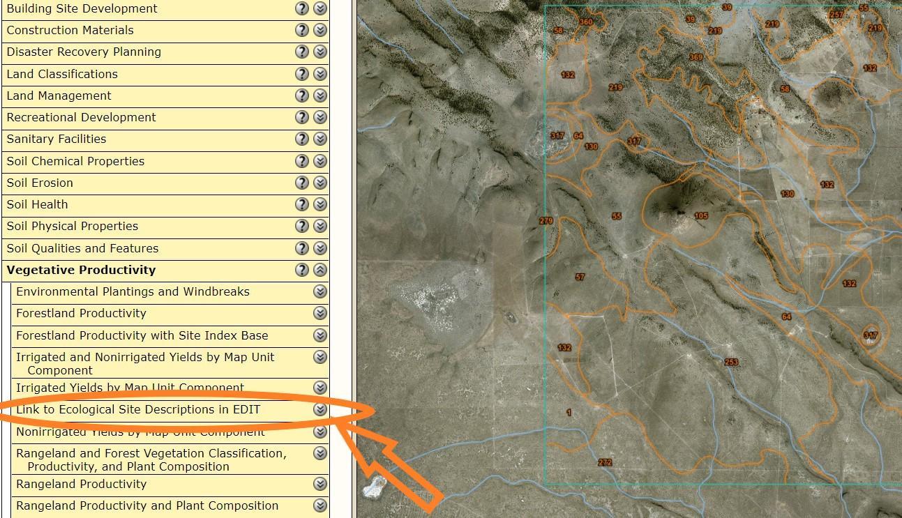
- Click the down arrows to expand the list for the “link to ecological site descriptions in EDIT” circled in orange in the photo above.

- Click the down arrows to expand the list for the “link to ecological site descriptions in EDIT” circled in orange in the photo above.
Step 10 A
-

- You will see a box with a maroon header open up and a white box under options that will read “this report has no options”.
- Click the View Soil Report button circled in purple in the image above.
- You will see a box with a maroon header open up and a white box under options that will read “this report has no options”.
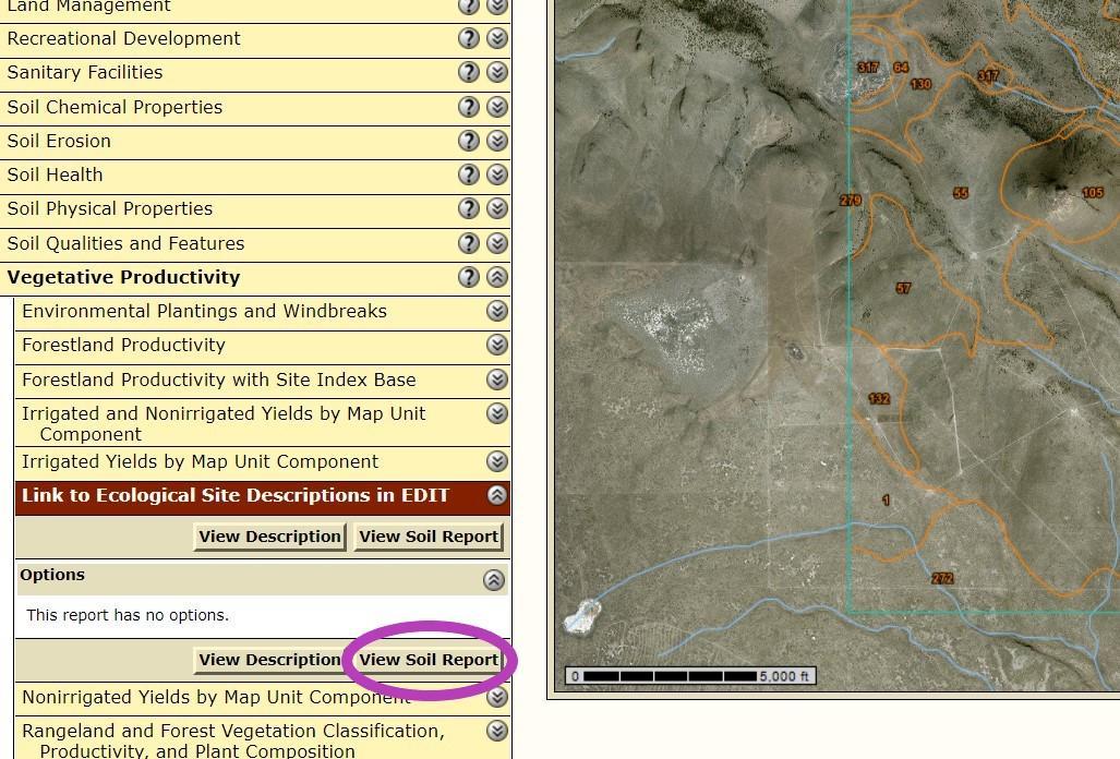
- You will see a box with a maroon header open up and a white box under options that will read “this report has no options”.
- Click the View Soil Report button circled in purple in the image above.
Step 10 B
-
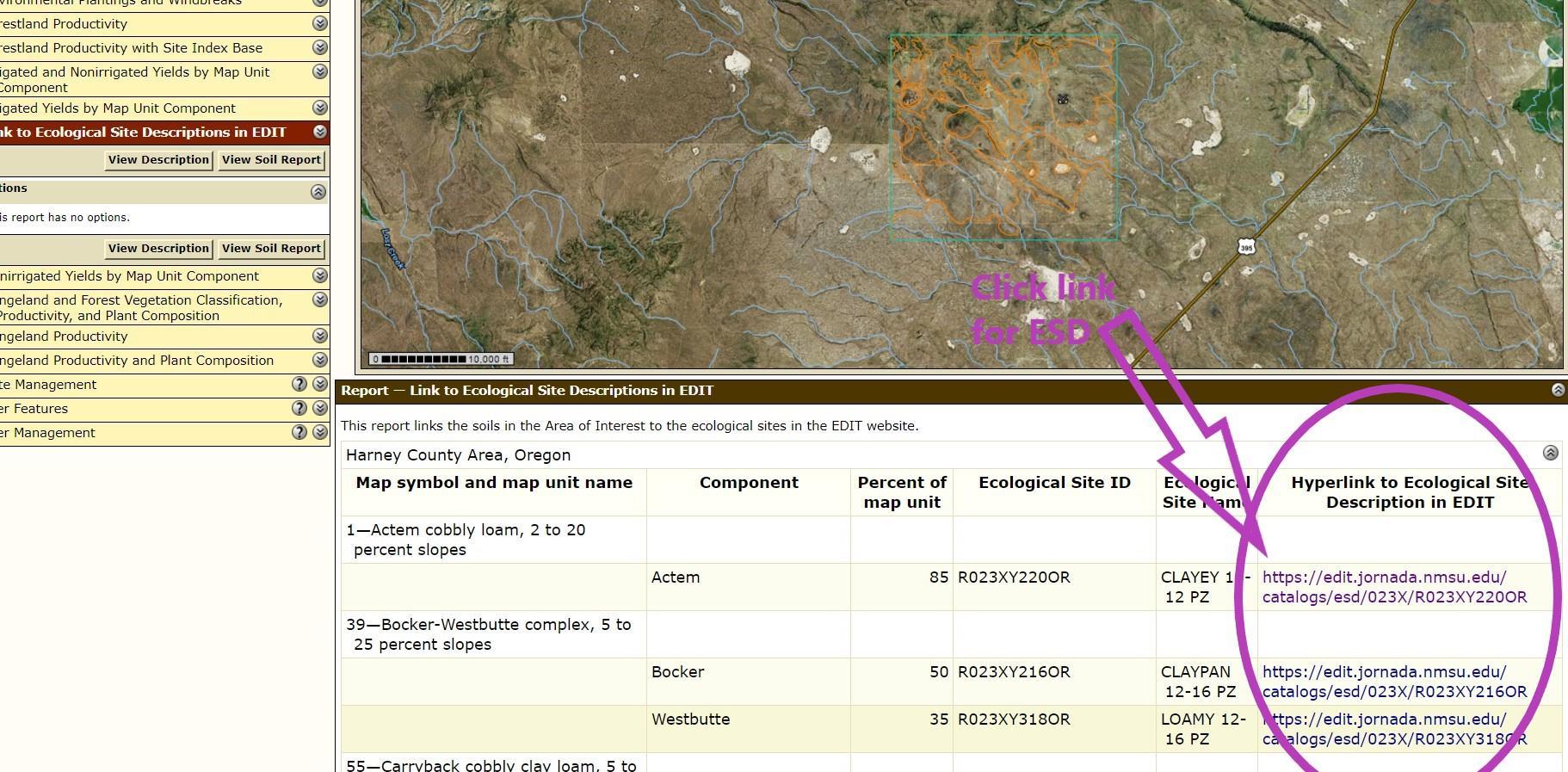
- A window will open with the soil map unit and a link to the ESD in EDIT in the last column (circled in purple in the image above)

- A window will open with the soil map unit and a link to the ESD in EDIT in the last column (circled in purple in the image above)
Step 10C
-
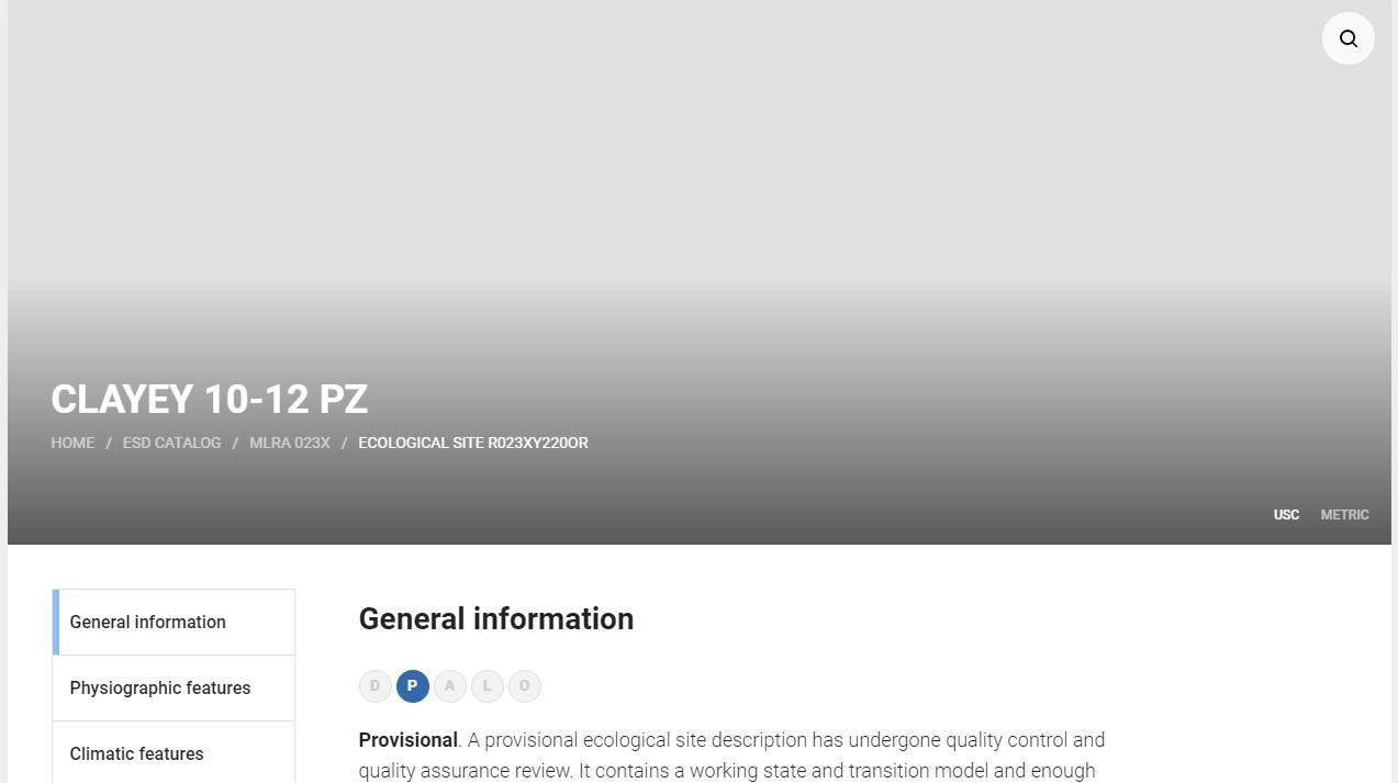
Click that link, and it will take you to The Ecosystem Dynamics Interpretive Tool (EDIT). The website should open for that ecological site description, similar to the one in the photo above.

- Click that link, and it will take you to The Ecosystem Dynamics Interpretive Tool (EDIT). The website should open for that ecological site description, similar to the one in the photo above.
Step 11
-

- To download the entire ESD, under the general information link, scroll down until you see the link “download full description” circled in black above.
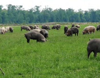
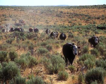
- This will download a pdf report with the reference plant community by functional group, soil type, water features, herbage production value estimates, and state and transition models. To learn more about what the ESDs are and how to use them as a management tool, see the extension publication An Introduction to Using Ecological Site Descriptions as a Management Tool by Dustin Johnson and Kirk Davies.
- To download the entire ESD, under the general information link, scroll down until you see the link “download full description” circled in black above.
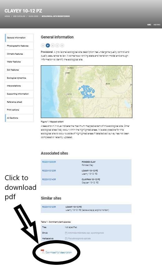
- To download the entire ESD, under the general information link, scroll down until you see the link “download full description” circled in black above.
- This will download a pdf report with the reference plant community by functional group, soil type, water features, herbage production value estimates, and state and transition models. To learn more about what the ESDs are and how to use them as a management tool, see the extension publication An Introduction to Using Ecological Site Descriptions as a Management Tool by Dustin Johnson and Kirk Davies.
Step 12
-
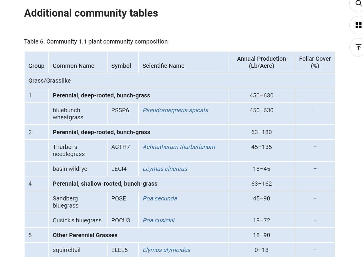
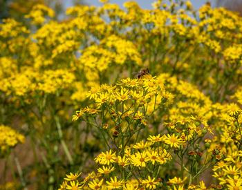
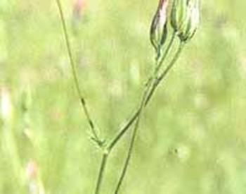
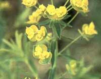
- Or, use the buttons on the left hand side to explore the different sections of the ESD. The Ecological Dynamics link has information on state and transition models, and a species lists titled plant community composition, such as the one in the photo above.

- Or, use the buttons on the left hand side to explore the different sections of the ESD. The Ecological Dynamics link has information on state and transition models, and a species lists titled plant community composition, such as the one in the photo above.
Final Thoughts
-

Information from the WSS instructions on how to download the ESDs was used to help create this how-to guide.
Below is more information from the WSS website on the ESD report from EDIT:
Link to Ecological Site
This report generates a list of components and any associated ecological sites. Hyperlinks are created for each ecological site. Clicking on the hyperlink opens the Ecological Site Description in the USDA-Natural Resource Conservation Service (USDA-NRCS) Ecological Site Interpretative Tool (EDIT).
EDIT is an online information system that contains the official list of publicly available USDA-NRCS ecological sites. It replaces the out-of-date Ecological Site Information System (ESIS).
Not all Ecological Site Descriptions are publicly available in EDIT. Please contact your local State Soil Scientist if you have problems viewing the ecological site description within EDIT.
The report only displays information for those soils that are within the Area of Interest and are linked to an ecological site in the Soil Survey Geographic Database (SSURGO). If a soil (component) is not linked to an ecological site, it will not be displayed in the report.
The report displays soil map unit names and symbols, ecological site IDs, ecological site names, and available links to the EDIT website.